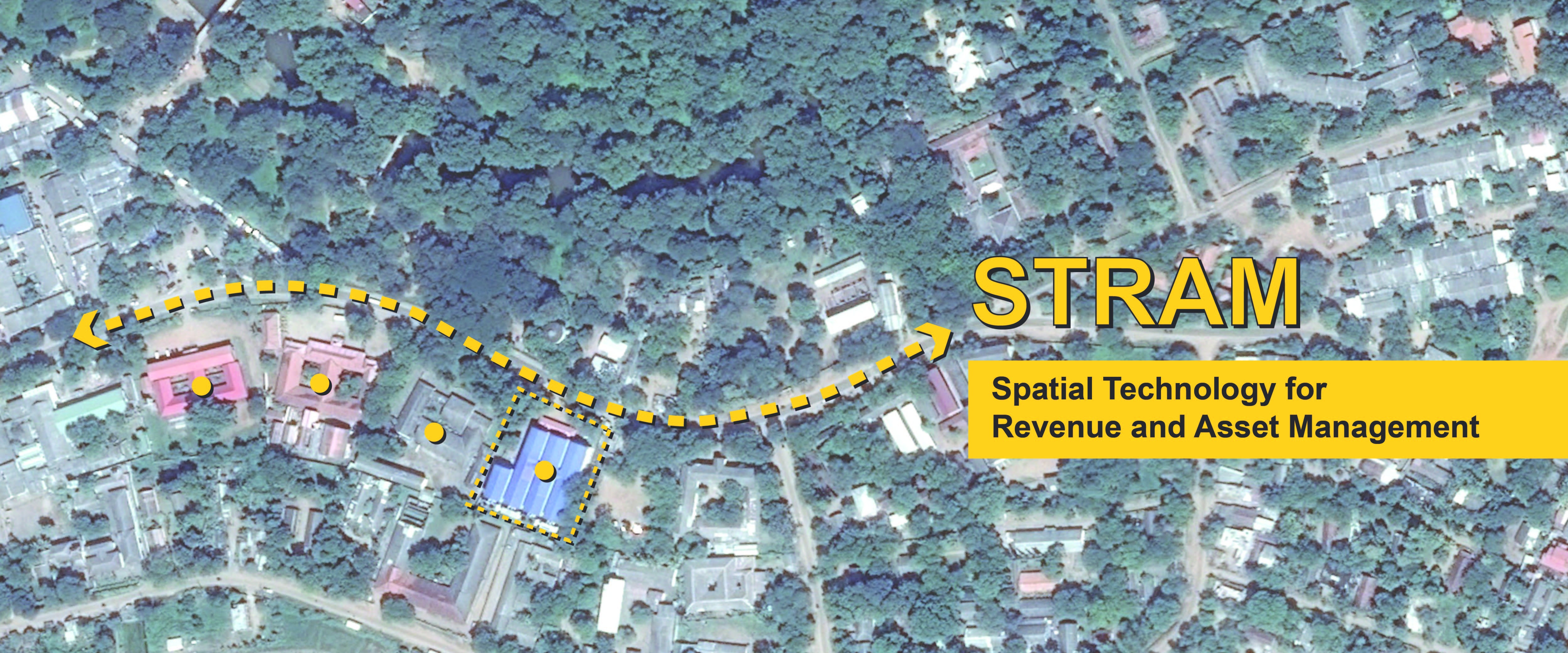
Spatial Technology for Revenue and Asset Management (STRAM)
What is STRAM?
The Spatial Technology for Revenue and Asset Management system, or STRAM, is a computerized program that harnesses geographical information systems (GIS) and mobile technology to improve the performance of Local Authorities. This includes enhancing the efficiency of delivery of municipal services to the public as well as to tracking tax and fee payments, allowing LA staff to view revenue generation by location.
Why do we need STRAM?
The Spatial Technology for Revenue and Asset Management (STRAM) is a unique tool to enhance the efficiency of LAs in three major areas:
1. Decision making on improving the collection of revenue from mandatory sources,
especially on outstanding arrears.
2. Following‐up on routine maintenance work of services such as roads.
3. Record keeping and creating an inventory of key infrastructure in the LA areas
including key service centers and LA assets.
FAQ
A spatial database is a database that is enhanced to store and access spatial data or data that defines a geometric space. These data are often associated with geographic locations and features. Data in spatial databases are stored as coordinates, points, lines, polygons and topology.


 STRM Brochur